 |
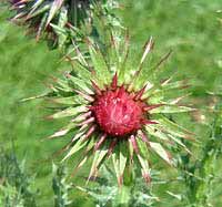
I sat out a shower in the car but
this thistle got wet. The spikes look even
sharper when they glisten with water. |
| |
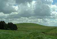
| The view back shows Knap Hill on
the other side of the road. There's a neolithic
camp, a settlement and some tumuli on Knap Hill
says my Ordnance Survey map. |
 |
| |
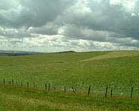 |
I think the hump on the hill in
the background is Adam's Grave long barrow on
Walker's Hill. But even when I was there it was
hard to tell which hill was which. An army of
clouds is marching across the sky, mirrored by a
flock of sheep below. |
| |
| Here we are at Wansdyke. A notch
has been dug for agriculture access. Wansdyke is
named after the Saxon god Woden but we don't know
if it were the Saxons who built the dyke. It
stretches all the way from a point south of
Bristol to Savernake Forest, a few miles away
from where I stood when I took this picture. |
 |
| |
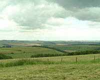 |
I'm on the north side of Wansdyke
here, looking northeast towards Furze Hill. A
shower arrived not long after this picture was
taken. |
| |
| By Shaw the Wansdyke Path leaves
Wansdyke itself. I had just spent a pleasant
half-hour leaning against the big tyres of the
blue tractor while having lunch. When a sudden
drop in temperature signalled another shower, I
got up and started walking again. |
 |
| |
 |
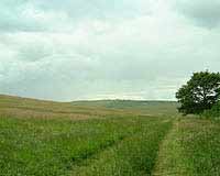
Unfortunately the map isn't much
help in figuring out the name of the hill in the
distance. I do know that the road is between us
and that hill and that I was looking pretty much
straight to the west. |
| |
| This one is easier, it's the copse
on top of Golden Ball Hill. |
 |
| |
 |
Here we are on Tan Hill Way on top
of Draycott Hill looking down on the Vale of
Pewsey. The sun had come out again and I had
recovered from a scary encounter with a bull in
Gopher Woods. |
| |
| The last picture of the day shows
the gentle folds of the Downs above Oare. |
 |